ACROSS Lexington stands for Accessing Conservation land, Recreation areas, Open space, Schools and Streets and is a 47-mile network of pedestrian and bicycle routes that link most of the town of Lexin
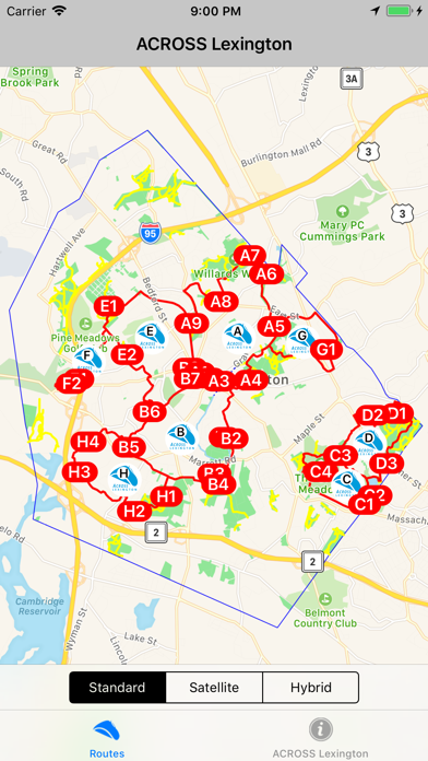
ACROSS Lexington stands for Accessing Conservation land, Recreation areas, Open space, Schools and Streets and is a 47-mile network of pedestrian and bicycle routes that link most of the town of Lexington, MA.

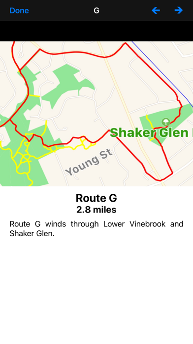
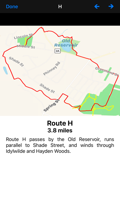
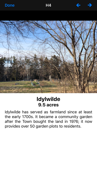
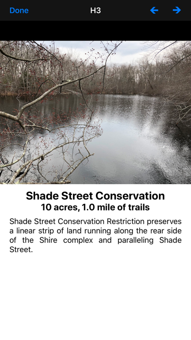
This app displays a map of the ACROSS Lexington Routes A, B, C, D, E, F, G, H, J, K, L, M, N, and P along with photos and information on points of interest along the way.

In addition, photos and information on 40 additional historic sites in Lexington are also displayed.

A map of all the routes is dynamically updated showing your current position.