Geocollect is a powerful mobile GIS application for field data collection, mapping, and offline workflows
Geocollect is a powerful mobile GIS application for field data collection, mapping, and offline workflows. Designed for GIS professionals, surveyors, foresters, researchers, and field teams, it helps you collect, manage, and share geospatial data accurately and efficiently from anywhere.

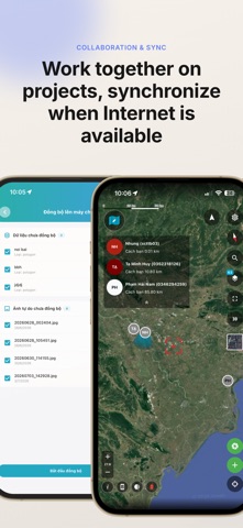
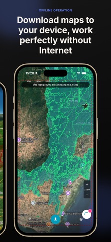
Work completely offline without an internet connection. View and edit maps, collect GIS data, manage projects, and synchronize changes whenever you're back online.

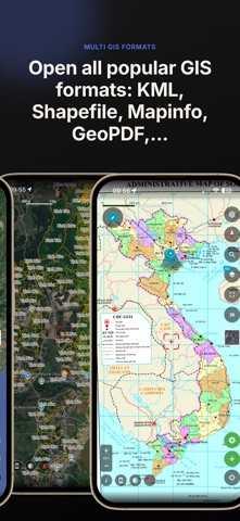
Import and view a wide range of GIS and CAD formats, including GeoJSON, KML, KMZ, Shapefile, MapInfo TAB, GeoTIFF, MBTiles, GeoPDF, DXF, DGN, PNG, and more.

Create custom data collection forms, collaborate with your team, and access Sentinel-2 and Landsat satellite imagery directly from your mobile device.

Whether you're working in forestry, agriculture, environmental monitoring, utilities, telecom, construction, mining, infrastructure inspection, land management, or scientific research, Geocollect provides everything you need for professional mobile GIS workflows.