Professional surveying application for engineers working in electrical, water, transportation, telecommunications, GIS, and infrastructure projects
Professional surveying application for engineers working in electrical, water, transportation, telecommunications, GIS, and infrastructure projects.

Survey One is a comprehensive field-to-CAD solution for surveying, design, supervision, and documentation — all directly on your iPhone.

No computer.
No Google Earth.
No AutoCAD offsets.
No Civil 3D required.

Everything is handled directly in the app.

Core Capabilities

Survey One provides complete surveying and design workflows with full DXF (AutoCAD) export support, including:

• Points (with coordinates and attributes)
• Text annotations
• Roads and road offsets
• Houses and structures
• Contour lines
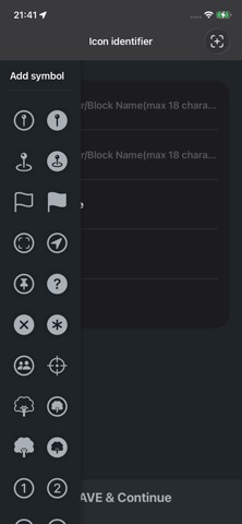
• Blocks (custom symbols with block names)
• Full layer management

Designed for high-accuracy survey lines up to 15 km.

Main Features

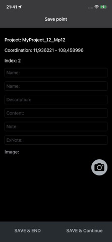
• Survey and mark point coordinates
• Record detailed information for each point
• Capture images directly at the marked location
• Use icons as CAD blocks (block name = symbol name)
• Export NNT files (modern survey data format)
• Export KML files (compatible with Google Earth & Windows)
• Convert KML ↔ NNT formats
• Receive and open shared files from any source
• Edit and delete survey points easily
• Export professional DXF files for AutoCAD
• Full layer structure: points, text, roads, offsets, contour lines
• Support custom block definitions from external drawings
• Open large projects smoothly

Who Is It For?

• Transportation engineering
• Power & energy projects
• Surveying & geodesy
• Construction & infrastructure
• Telecommunications
• GIS professionals
• General infrastructure development

Particularly suitable for design and supervision of construction projects.

Why Choose Survey One?

• Covers core requirements for engineering fieldwork
• Professional DXF output ready for AutoCAD
• Fast, lightweight, and accurate
• Cost-effective compared to traditional workflows
• Opens large files smoothly
• Does not collect user data

Survey One is a reliable field-to-CAD solution for modern engineering projects.