Weather Radar Norway shows you where the rain and snow is right now, using radar and satellite imagery from The Norwegian Meteorological Institute
Weather Radar Norway shows you where the rain and snow is right now, using radar and satellite imagery from The Norwegian Meteorological Institute.

RADAR MAP
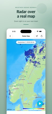
See the latest precipitation radar drawn directly on a map of Norway. Zoom and pan anywhere, tap the location button to centre the map on where you are, and press play to watch the last few hours of radar move across the country.

RADAR FOR THE WHOLE COUNTRY
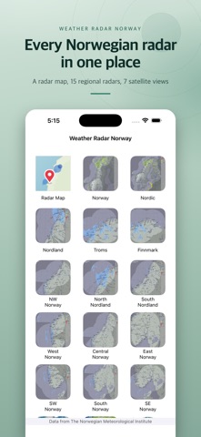
- Norway and the Nordic region in a single image
- Regional radar in detail: Finnmark, Troms, Nordland (north and south), NW, West, Central, East, SW, South and SE Norway
- Gardermoen X-band radar for the Oslo area

SATELLITE IMAGERY
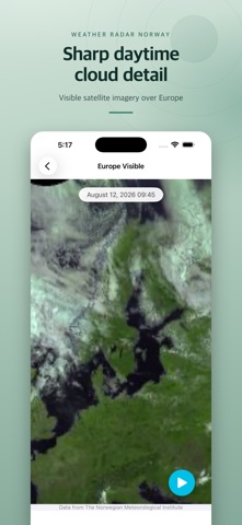
- Europe, the Mediterranean and Africa in infrared and visible light
- Global infrared view

MADE FOR A QUICK LOOK
- Every radar and satellite series plays back as an animation, so you can see which way the weather is moving
- Pinch to zoom into any image
- Times are shown in Norwegian local time, wherever you are
- Available in Norwegian and English

All data comes from The Norwegian Meteorological Institute (MET Norway). This app is not affiliated with the institute.

The app uses your location only to centre the radar map on you. It is not stored and not shared.